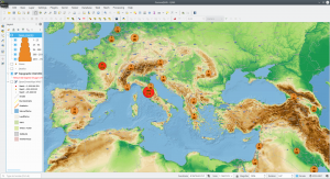
The Center for Systems Science and Engineering (CSSE) at Johns Hopkins University provides the famous Corona Dashboard and Map (ESRI ArcGIS Online App) and an ArcGIS Feature Service with the recent data (and a GIT Repo with the raw data). The ArcGIS Feature Server support of QGIS makes it easy to have “some fun” with QGIS and the provided datasets.

Corona COVID-19 meets QGIS – create your own maps weiterlesen