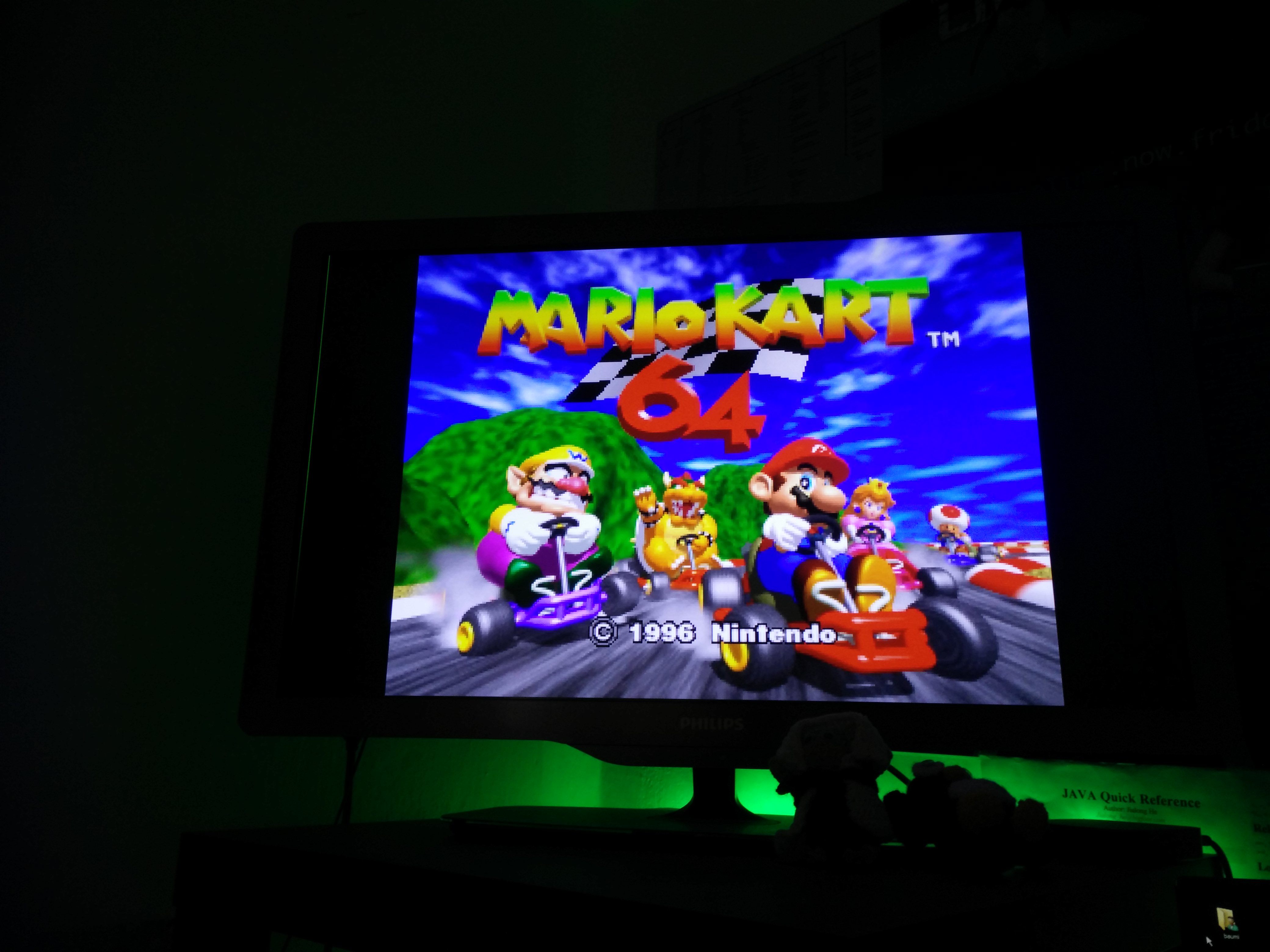
It’s has been a long time since I had time for some useful and useless stuff. So we (isticktoit) found some useless stuff on Heise open: A Linux Retro-Gaming distribution and thought about bringing some old stuff up to ‚waste‘ some hours.
4:3 on a FullHD TV and pixels
In this case I tried the new release of the Lakka distribution, which is mostly for Retro/Emulator-Gaming. It contains a lot of emulators from Atari up to PlayStation and Nintendo.
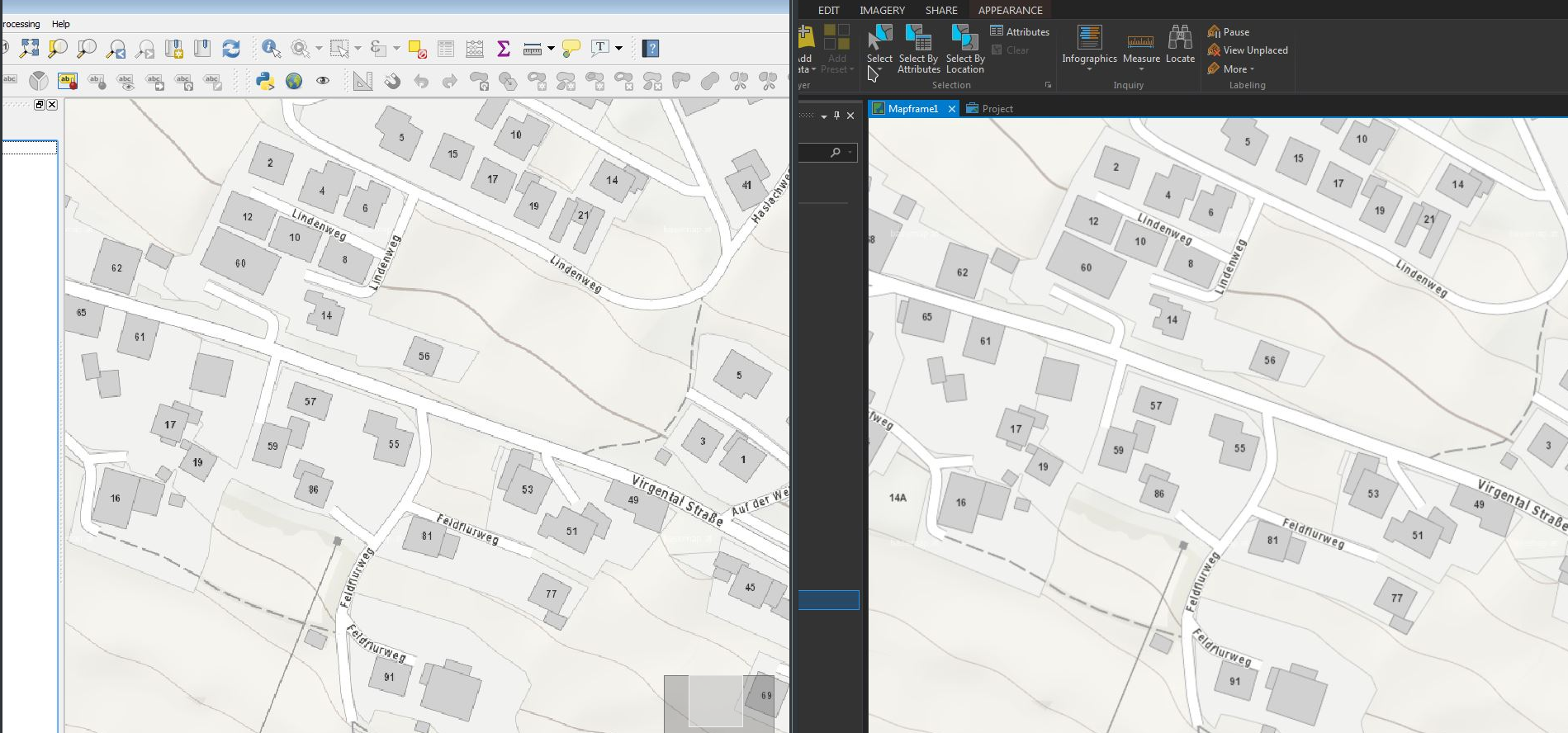
Using the WMTS-Service basemap.at in ESRI ArcGIS Pro (v 1.4) and QGIS (v 2.18) I discovered some differences in the display-quality of the WMTS-Service in both programs – while basemap.at was a beauty in ArcGIS Pro, the display-quality in QGIS was not that smooth… (@same extent etc.)
Is the widely pushed OGC Geopackage (GPKG)(http://www.geopackage.org/) ready for daily use – also as a replacement for the good old Shapefile as an exchange-format ? While QGIS already supports Geopackage (including direct editing) quite well for some time, the format starts to grow up in the ESRI environment. Some good news with ArcGIS Pro 1.4 …
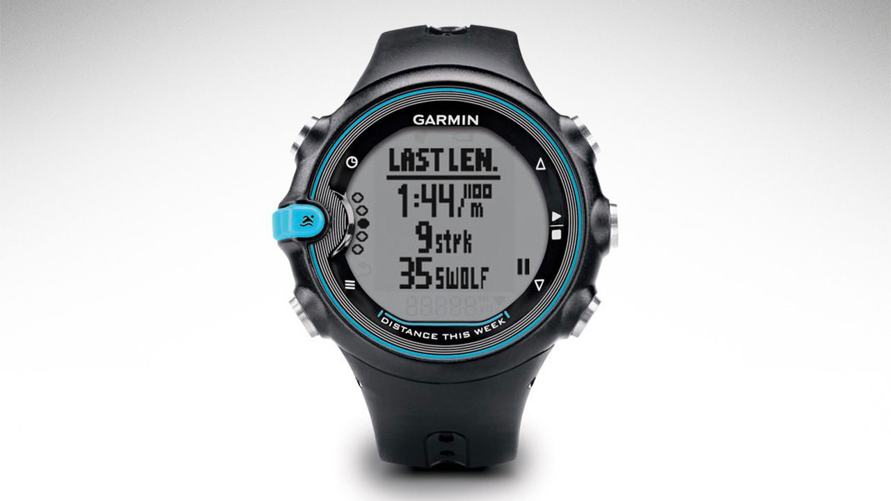
Sport watches like the Garmin Swim or Forerunner-series are widely used. As a Linux-User, I was facing the „problem“ how to get the data on the PC from my Garmin swim (and to GarminConnect) … there are a lot of solutions around on the internet (some very old ones) – the following workflow works fine for me to get the data on the PC and upload it to GarminConnect.
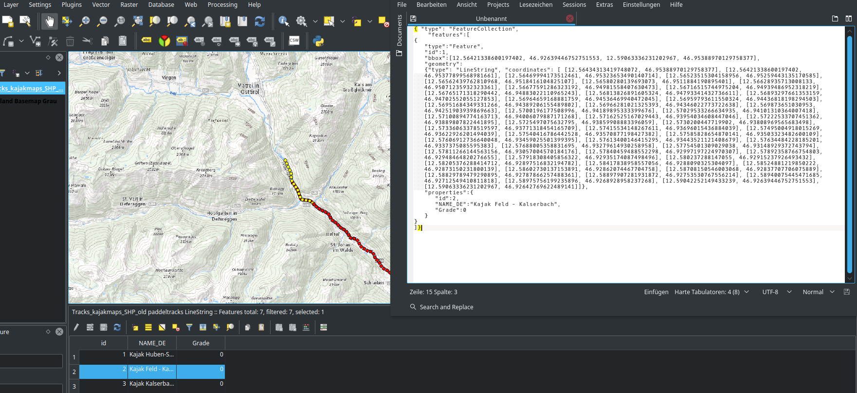
Fooling around with QGIS (v 2.18) global program-settings, I found some interesting setting. It allows the user to copy geo-features directly from the table to the clipboard as GeoJSON (geom + attributes). So, no „export to…“ etc. is needed.
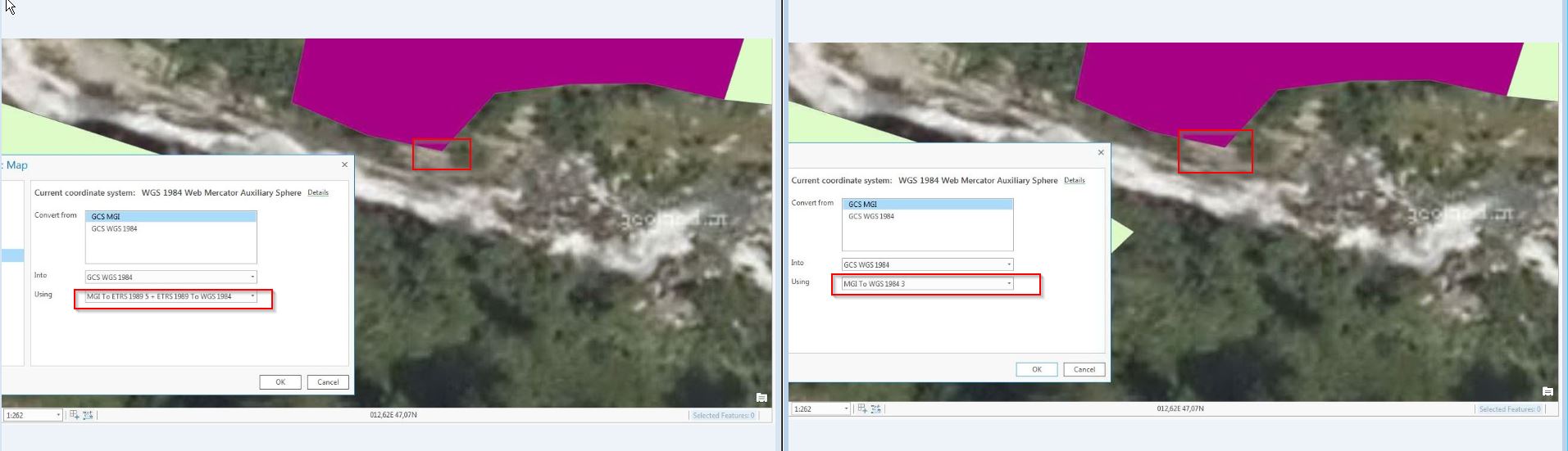
Nachdem ArcGIS Pro von ESRI erwachsen wird und sukzessive vermehrt im GIS-Alltag zum Einsatz kommt, anbei ergänzend zur Serie zur Anwendung bestmöglicher Transformationsparameter zwischen dem österreichischen Bundesmeldenetz und WGS84/ETRS89 die Implementierung dieser in ArcGIS Pro (Stand Version 1.3.1).
Transformation EPSG1618 (Position Vector) versus NTv2 AT_GIS_GRID – ein kleiner Unterschied
Today I had a first look at QGIS 2.99 developer/experimental (upcoming 3.0) and big advantages in supporting Geopackage (sometimes called „the new Shapefile“) are made – including editing-support.
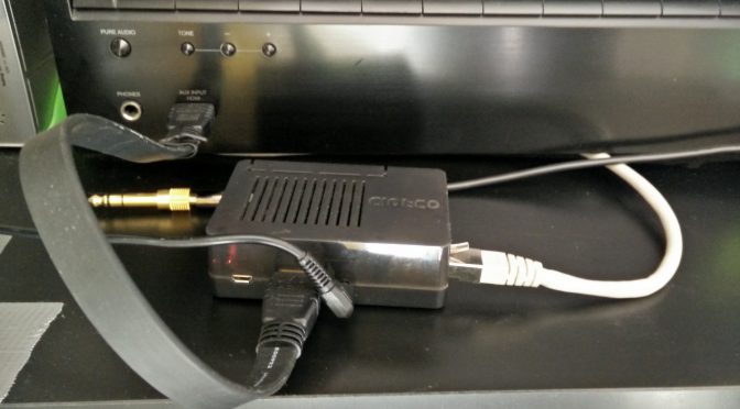
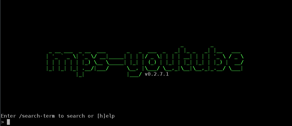
Have you ever played or streamed sound controlled in a command line? I myself play & stream every sound controlled through command line interface. To achieve that I use an odroid c2 connected to my av-receiver.
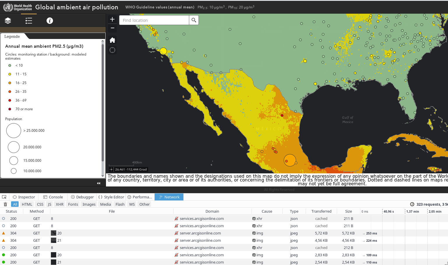
The last days media was crowded by the WHO air pollution map. As someone a little bit map-addicted I had a quick deeper look at it and was surprised: It looks like air-(pollution) in some cases stops exactly at political borders…
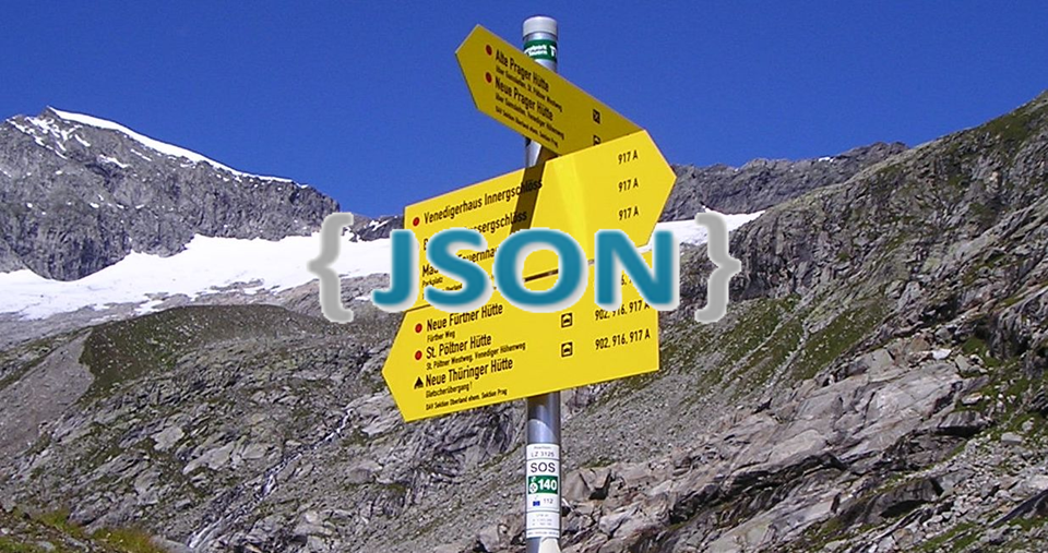
Now the next step on our route for the guidepost standard is creating a schema to validate the Guidepost-JSON-Standard for the Tiroler Wander- und Bergwegekonzept.
The whole standard is mostly useless if you are unable to validate it against a schema.