Jeder GIS-Nerd benötigt einen klaren Kopf. Warum sollte es dann nicht was selbst gemachtes klares sein ?
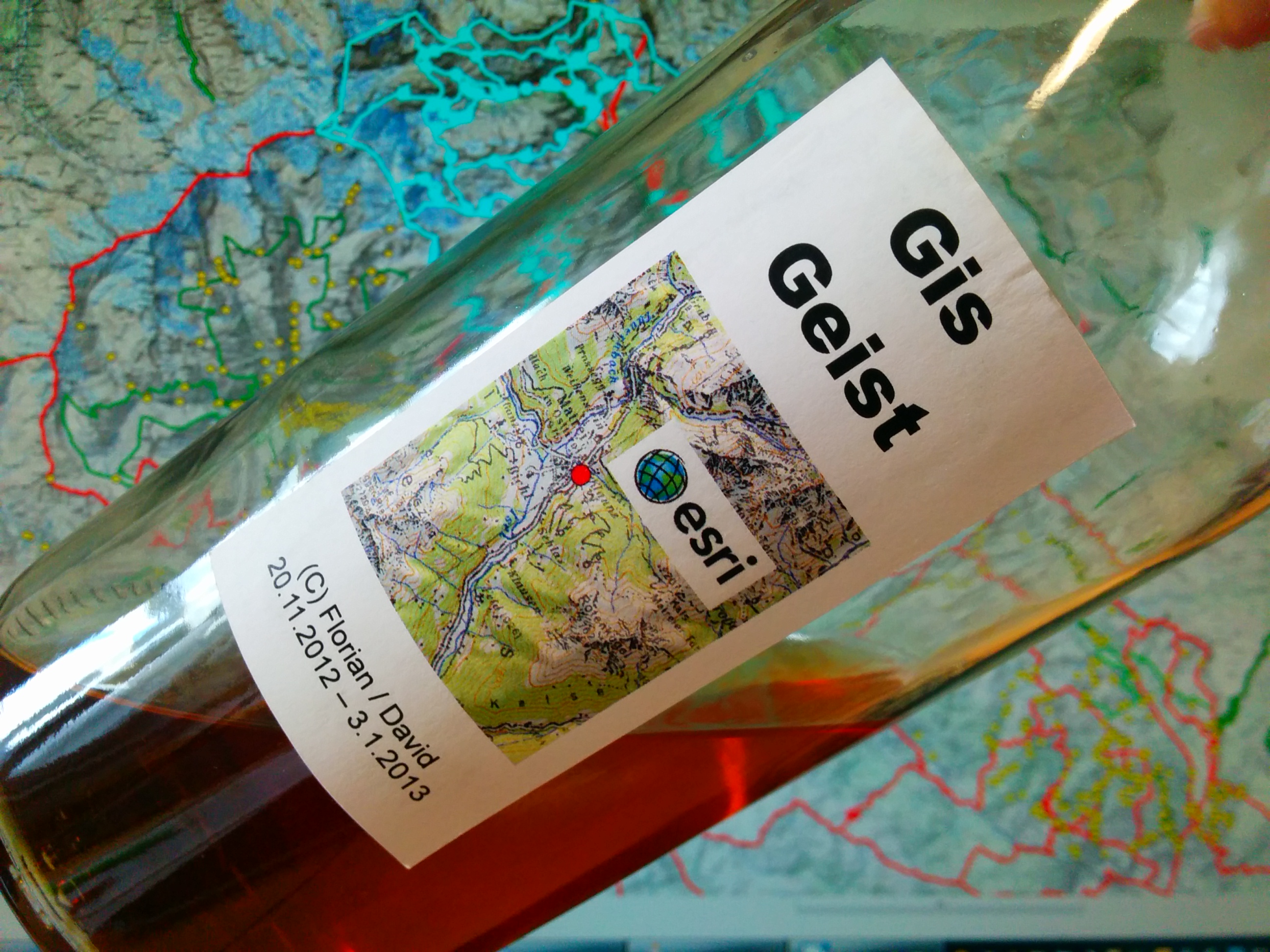
Folge 2: GIS-Geist Schnaps selbst gemacht – ein Muss für wahre GIS-Nerds weiterlesen
Jeder GIS-Nerd benötigt einen klaren Kopf. Warum sollte es dann nicht was selbst gemachtes klares sein ?
Folge 2: GIS-Geist Schnaps selbst gemacht – ein Muss für wahre GIS-Nerds weiterlesen
Neuer Download: Schummerung Österreich 25m / Hillshade Austria
Format: JPG inkl. World-File (jgw)
CRS: ETRS89 / LEAE

Neuer Download: Schummerung Österreich 25m / Hillshade Austria weiterlesen
Gute Getränke stärken den Geist – egal ob ein gutes Glas Wein, Whisky oder Brandy. Besser schmeckt jedoch selbst Gemachtes ! Anbei ein erstes kleines Rezept dazu von uns…

Folge 1: Limette-Ingwer Schnaps selbst gemacht – gute Promille für Nerds&Geeks weiterlesen
Die Verwendung einer NTv2-Transformation mit dem vom BEV bereitgestellten AT_GIS_GRID ermöglicht eine Genauigkeit von +/- 0,5m im Gegensatz zur Methode EPSG 1618 (7-Param. Position Vector) mit +/- 1,5m. Mehr dazu in diesem Artikel.
QGIS 2.2 und ArcGIS 10 ermöglichen mittels manueller Einstellungen die Anwendung dieses Verfahrens auf Basis des vom BEV bereitgestellten gsb-Files AT_GIS_GRID.gsb (Download hier)
Hinweis: Das AT_GIS_GRID ist ursprünglich für die Transformation nach ETRS89 gedacht – man geht aber auch nach WGS84 von einer höheren Genauigkeit aus.
AT_GIS_GRID in QGIS 2.2 & ArcGIS 10.0 (NTv2 Transformation) weiterlesen
Durch die zunehmende Verwendung von Webservices wie WMS/WMTS-Diensten und eine “Internationalisierung” von Geodaten muss immer häufiger zwischen nationalen Bezugssystemen und beispielsweise Dezimalgrad(WGS84) oder UTM gewechselt werden. Gerade bei der Transformation kann man dabei schnell in massive Lagefehler stolpern. Auf was muss man nun im Zusammenhang mit dem österr. Bundesmeldenetz (BMN31, MGI M31 und Co) achten ?
Livestreams often use Adobe’s Flash format and Shockwave Flash-Players to supply live content to their users. To play them on a machine that hasn’t flash installed, many pipe rtmpdump’s output to their favourite media player, making integration into home cinema systems complicated. If the URL of the stream you watch regularly does not change (e.g. a TV station’s official livefeed), you can easily play this in XBMC.
Lange Zeit hat man neidvoll vor allem bei US-amerikanischen Behörden freie Geodaten erblickt und beziehen können – von Landsat-Bildern bis hin zu “topographischen Labels” für fast die ganze Welt von der NIMA.
Zusehends springen in Europa öffentliche Einrichtungen auf den OpenData bzw. OpenGovernmentalData (OGD)-Zug auf (http://de.wikipedia.org/wiki/Open_Data) und stellen u.a. auch spannende und wertvolle Geodaten frei zur Verfügung, so auch in Österreich.
Open(Geo)data in Österreich – Freie GEODatenvielfalt weiterlesen
If you are watching a Flash stream (not youtube) then it is possible to save it to a FLV file.
At first you have to buffer the full stream that is the gray bar.
When it is full loaded, execute at first this to locate the flash buffer:
lsof | grep Flash
Some words on how to install Android on your Odroid-U3 using Linux:
http://forum.odroid.com/viewtopic.php?f=78&t=3302
If you want to list and write to a txt-File all featureClasses (in a FetaureDataset) stored in SDE/Oracle, it is done with a few line Python.
import arcpy
from arcpy import env
import os

# Set the workspace for the ListFeatureClass function
#
env.workspace = "Database Connections/VECTOR.arcsde01.sde/FEATURE_DATASET"

# Use the ListFeatureClasses function to return a list of
#  all shapefiles.
#
fcList = arcpy.ListFeatureClasses()

print str(fcList)

# setting up output-file and write to file
file = open("sdelayers.txt", "w")
file.write(str(fcList))
file.close()