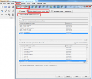
Quantum GIS has the option to perform on-the-fly transformation between geodata with different coordinate systems within the data-frame.
When to use it ?
You have geodata referenced in different CRS (Coordinate reference systems) in one project (data frame).
Be aware !
Be aware that every data-layer has a coorect CRS defined and the CRS of the data-frame has to be defined !
Also keep attention whether the correct transformation (parameters!) ist performed.
