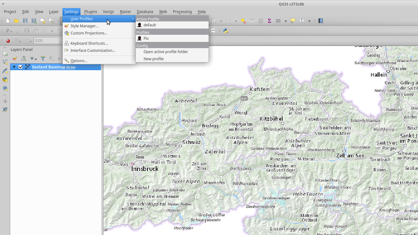
The upcoming QGIS 3.0 (www.qgis.org) is heavily under development and it was time to have a quick first glimpse on the recent developer-version (2.99-Master). QGIS 3.0 will be based on Qt5 and Python 3 – using the actual 2.99-Master was like “being at home” with some nice new furniture…
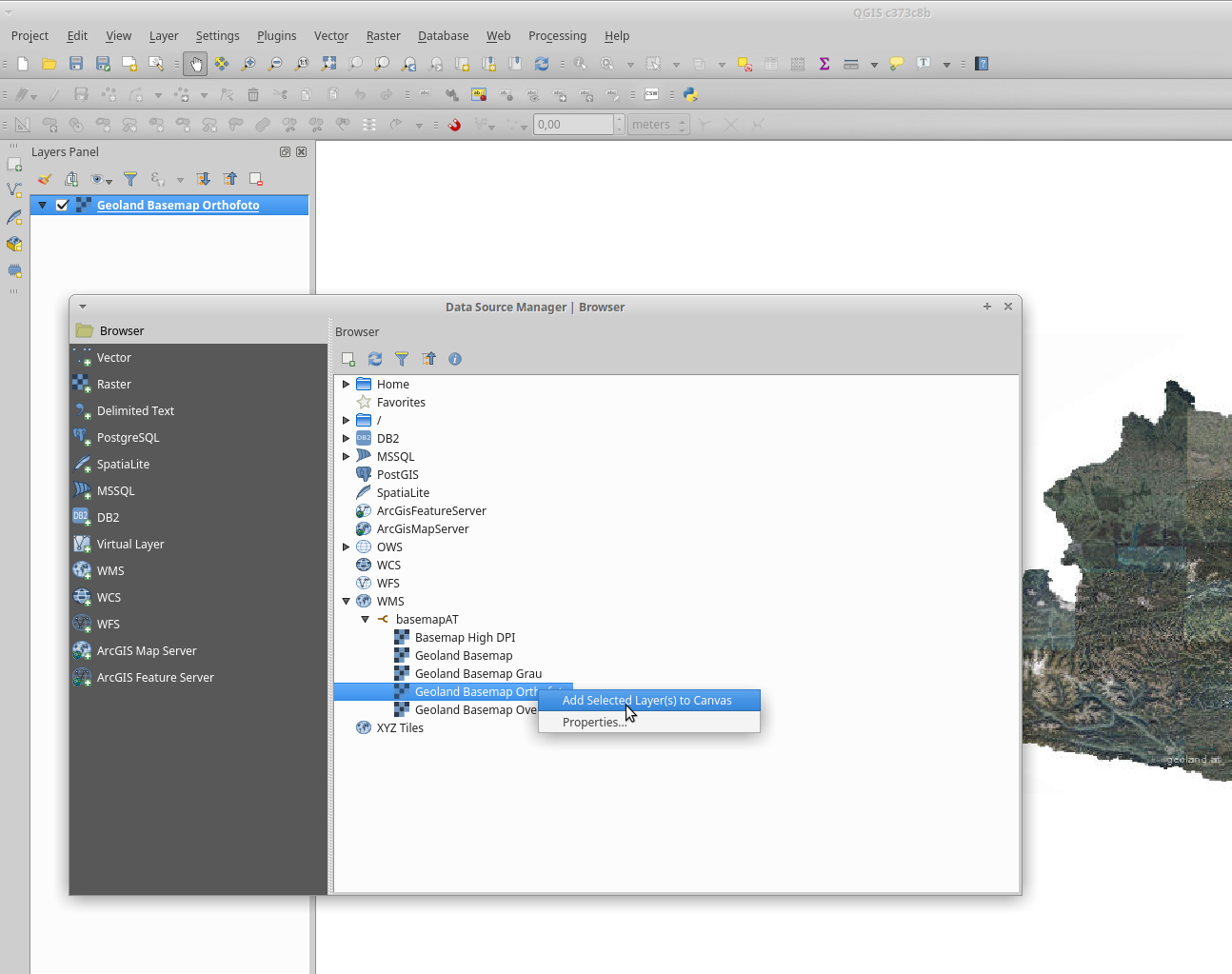
- “All-in-one” data-sources manager
Adding data from different sources is now integrated in one data-sources dialog.
- QGIS 3.0 seems to have an integrated user-manager (sessions)
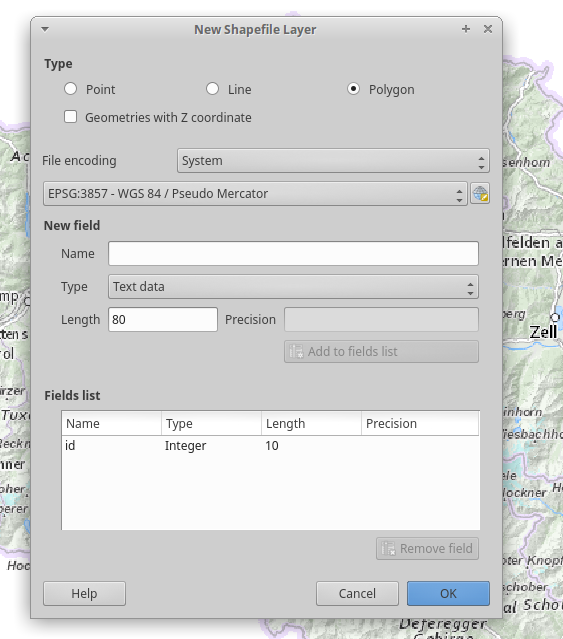
- Create Shapefiles: Now with the option to have Z-values
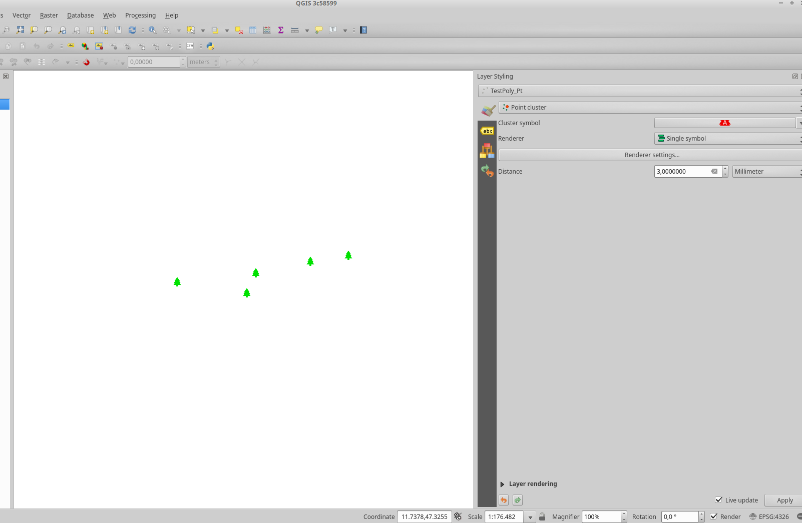
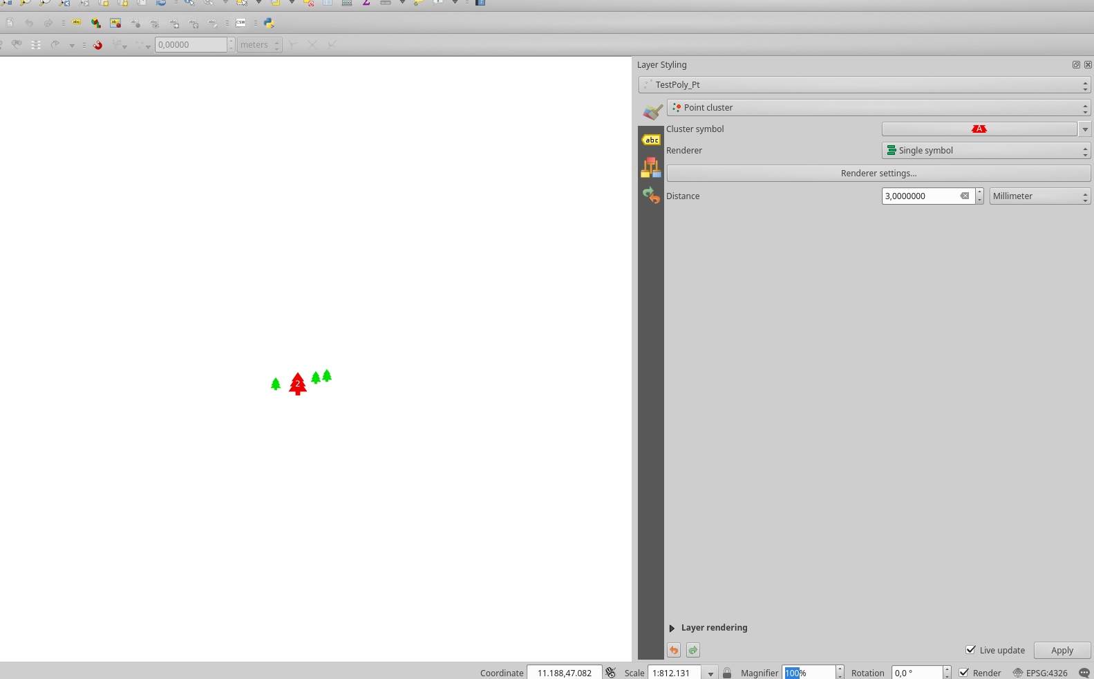
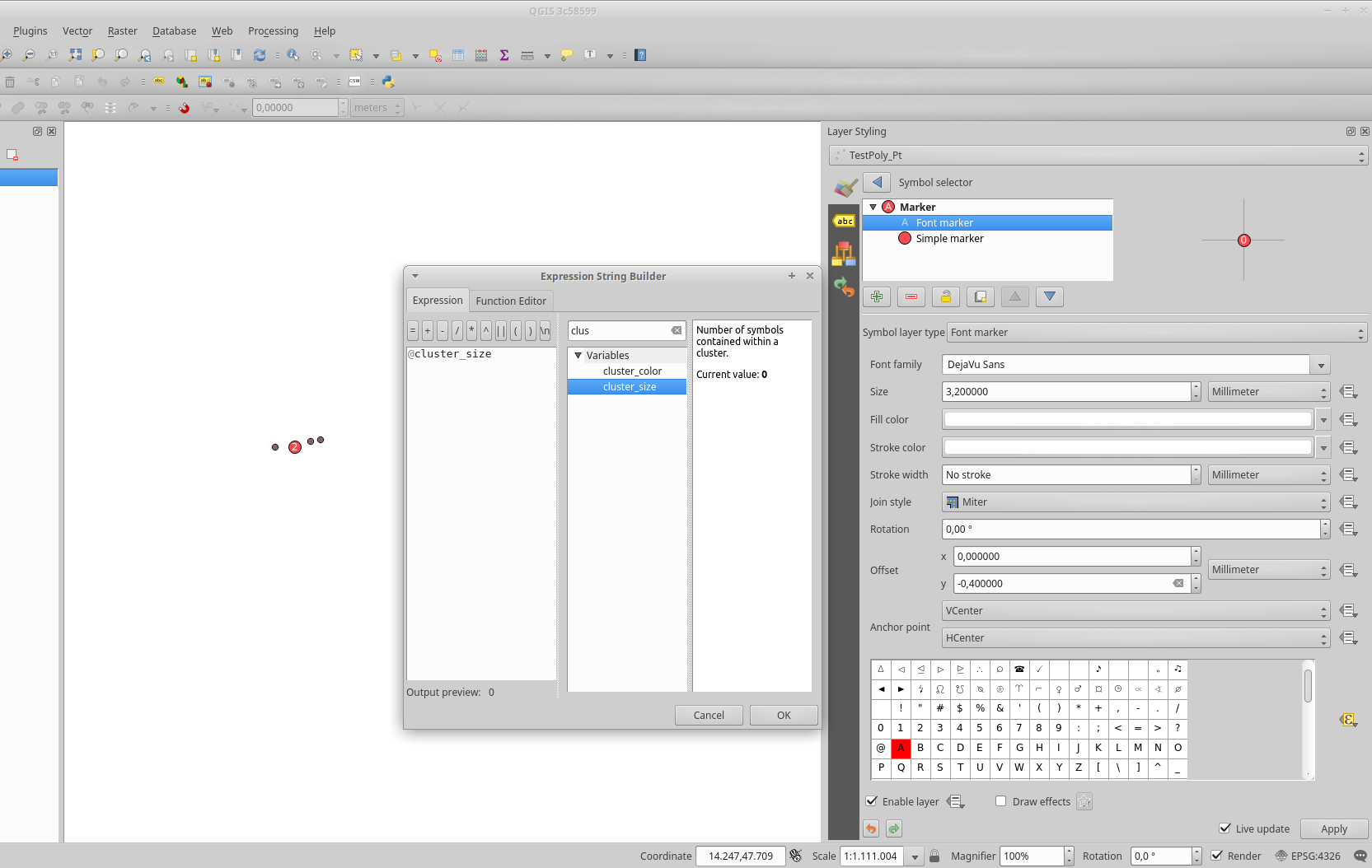
- A really nice integrated symbology feature: point-displacement and point-cluster

- Point-cluster
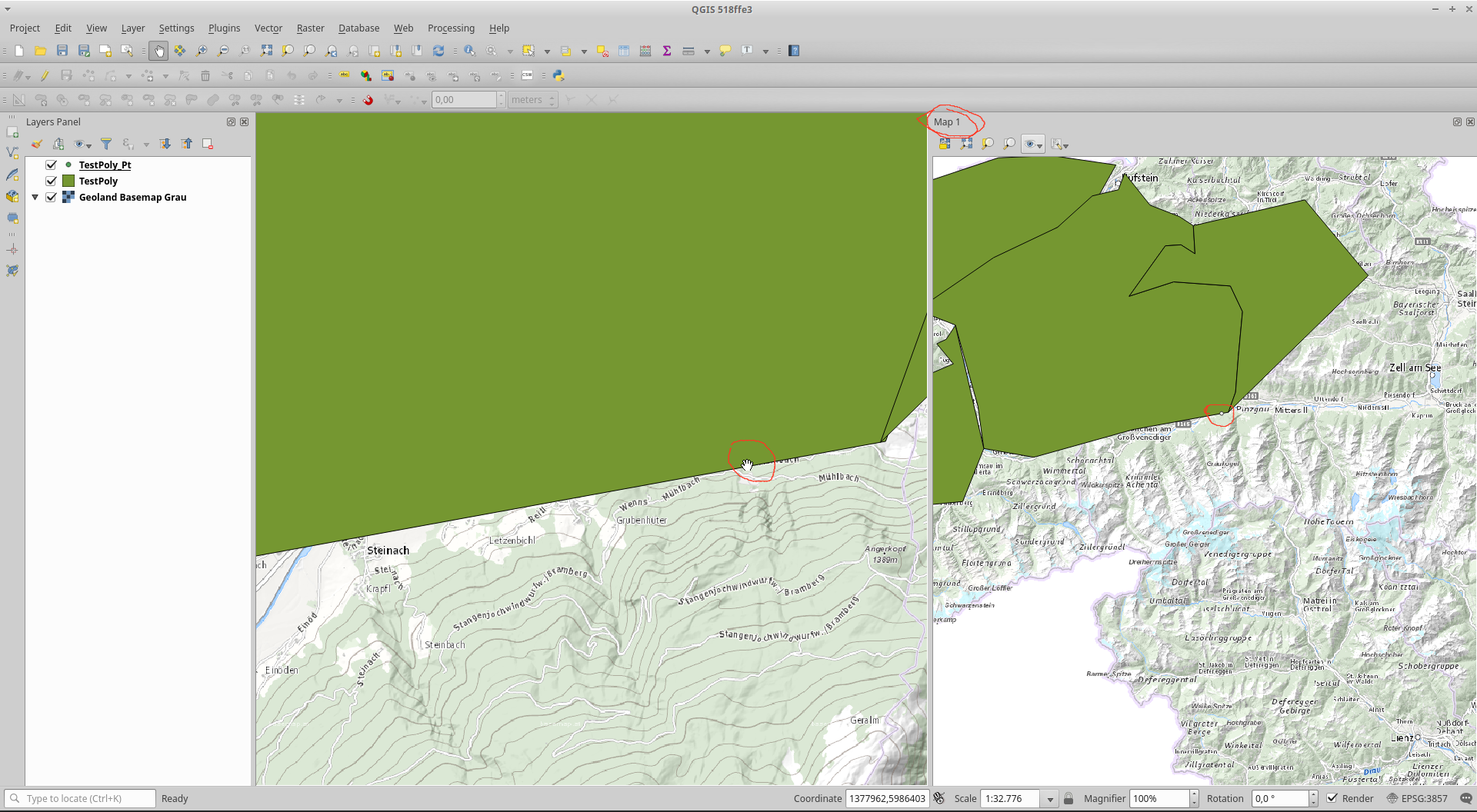
- Multiple Map-Views in one project
- New: 3D View – QGIS 3.x allows 3D Scenes
THX to data.gv.at and basemap.at it’s a small step towards a 3D View of the highest mountain of Austria, the Grossglocker.

- Geopackage everywhere
- Create new GP/Layers now directly “at the front”
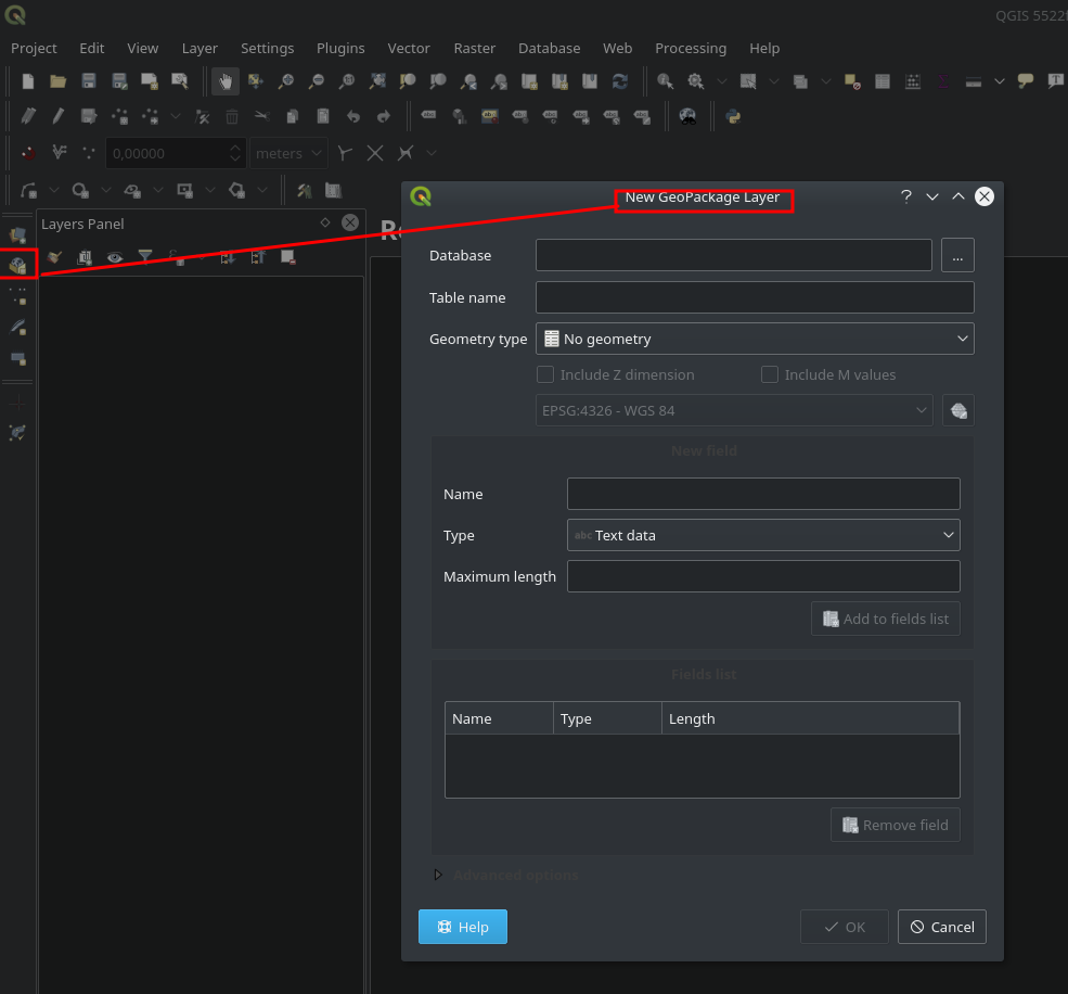
- Geopackage everywhere
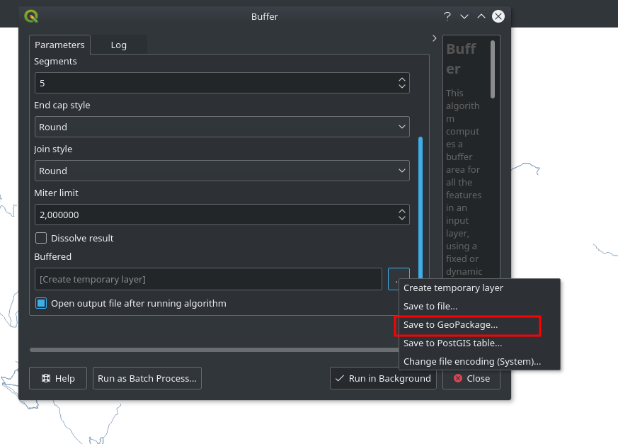
- Geopackage support in Geoprocessing/Toolbox (In- and Output)
- Nice new “Package Layers” tool – select multiple layers and package them in one Geopackage

- CRS-Dialog with extent-map for the selected CRS

- Locate/Search in Status-Bar – a direct path to tools !

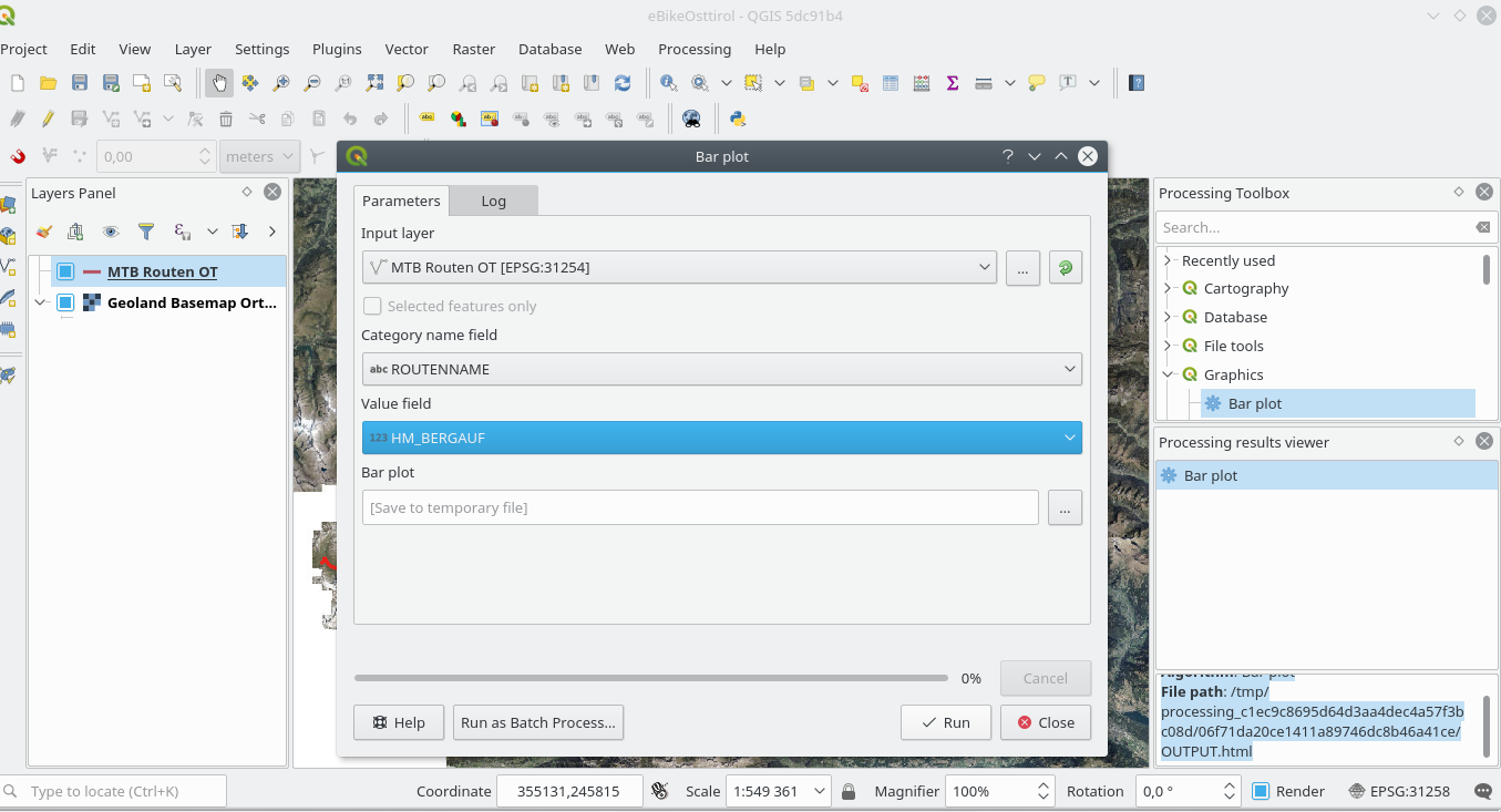
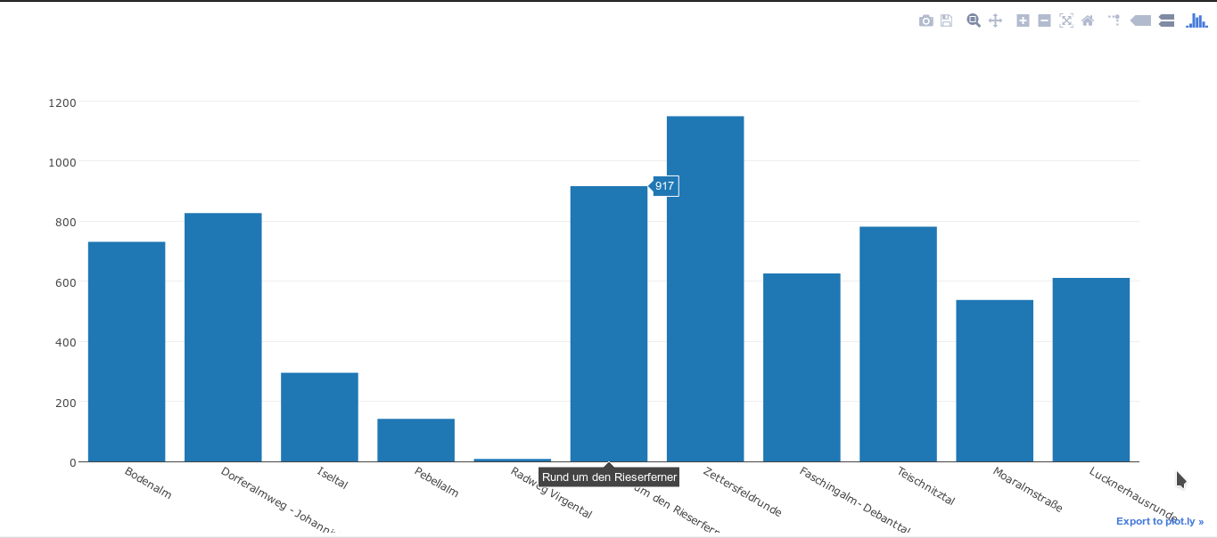
- Plot.ly Integration: Create graphs with Plot.ly
- HTML-Output (Have a look at the log or Results Viewer (Processing – Results Viewer) to find the generated HTML)