The Austrian govermental geodata-departments offer a free Basemap for Austria – Basemap.at (http://basemap.at/) – similar to GoogleMaps or OSM, based on official governmental data.
You can access this map via QGIS too – add a WMS/WMTS-Layer and use the following URL
http://www.basemap.at/wmts/1.0.0/WMTSCapabilities.xml

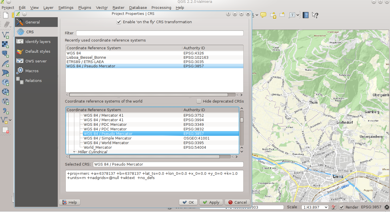
… for the best rendering-quality (no distortions) choose Google’s Pseudo Mercator as Project(Display)-CRS: EPSG 3857 (in QGIS 2.x: Settings – Project properties)